
Finding Canton Residents by Street
Use the full street number, spelling, and suffix first. The result may identify a parcel and an owner of record, but it does not by itself establish who occupies the address. Canton keeps current ownership and property-description material through the assessor, while the Registry records the transfer trail. A municipal voter record or dated directory can supply a separate residence clue when that material is lawfully available. Keep the date beside every result, because a parcel, a deed, and a voter list are made for different purposes.
- Check the exact address in the Town of Canton Assessor's Database. Record the situs address, map-lot or parcel identifier if shown, owner of record, fiscal year, and any deed reference.
- Open the same location in the town GIS or AxisGIS viewer. Compare the parcel outline, nearby road, building, and map context with the address you wrote down.
- Use the deed reference or parcel facts in Norfolk Research. Read the legal description and prior-instrument reference, then search the earlier grantor as grantee when tracing ownership backward.
- For a dated residence question, ask the Canton Town Clerk for the specific public municipal voter or street-list record that is legally available. The statewide voter file is not a public directory, and protected records are excluded.
- When the question becomes historical, compare a directory or phone-book year with the street and address. The Canton city directory collections provide the collection context for that older household work.
That sequence preserves the difference between an ownership trail and a residence trail. It also prevents a street directory search from turning a map label or a single name into a claim the underlying record does not support.
Canton Street Grid and Map Flags
The official Canton Street Map and List is the best first check when a street spelling, suffix, or location is uncertain. Its 2022 edition uses an A through J and 1 through 11 grid. It also flags private driveways, paper or no-access streets, unaccepted ways, and partially accepted ways. Those marks are useful research facts, not proof that an address is a normal public route or that a person lives there.
Write down the grid reference before switching systems. The same official map shows neighboring-town labels, including Sharon, Stoughton, and other nearby places. A nearby label can help orient a search, but it does not give a Canton parcel a second municipal address. Preserve the street name exactly as the source prints it, then compare Street, Road, Avenue, Drive, and shortened forms in the assessor, deed, and historical materials.
Note: Paper and unaccepted ways may be listed on the Canton map even when ordinary travel access is limited or absent.
Canton Assessor Fields by Address
Canton's assessor maintains ownership records, property descriptions, building sketches, and maps. The public FY2026 database identifies its data and assessments as of January 1, 2025. Its live search form advertises search, sort, and filter functions, yet the exact field labels were not captured in the research. Use the labels displayed in the live portal rather than assuming an owner, address, or map-lot control has a particular name.
| Observed Canton portal item | What the research confirms | Street-search use |
|---|---|---|
| Search, sort, and filter controls | The official database says these functions are available. | Begin with the exact address and retain the displayed result details. |
| Owner-name search label | Live label and required settings were not text-captured. | Use only the owner control shown during the current session. |
| Situs-address search label | Live label and result-card fields were not captured. | Match the physical parcel address, not a mailing address. |
| Map-lot or parcel label | The research confirms parcel identifiers are part of the record trail, not the live label wording. | Save the identifier for deeds, plans, and a written request. |
| GIS identify result | AxisGIS field labels require JavaScript and were not exposed. | Use the map to corroborate geometry, roads, and nearby parcels. |
A fiscal-year assessment is not a live occupancy statement. If a card shows both a physical parcel address and a mailing address, label each one. The first identifies the parcel. The second may be correspondence for an owner, trust, entity, manager, or an owner who lives elsewhere.
Canton Street Context in GIS
The Canton GIS Division describes layers for parcels, buildings, roads, utilities, and catch basins, and links tax and zoning maps as well as the street map and list. AxisGIS adds an interactive parcel view. These layers are strong for checking where a street meets a parcel or whether an old description aligns with a current road, but no map layer alone identifies a person or proves occupancy.
The official Canton GIS page shows the town's map resources and the types of layers available for a Canton street directory search.
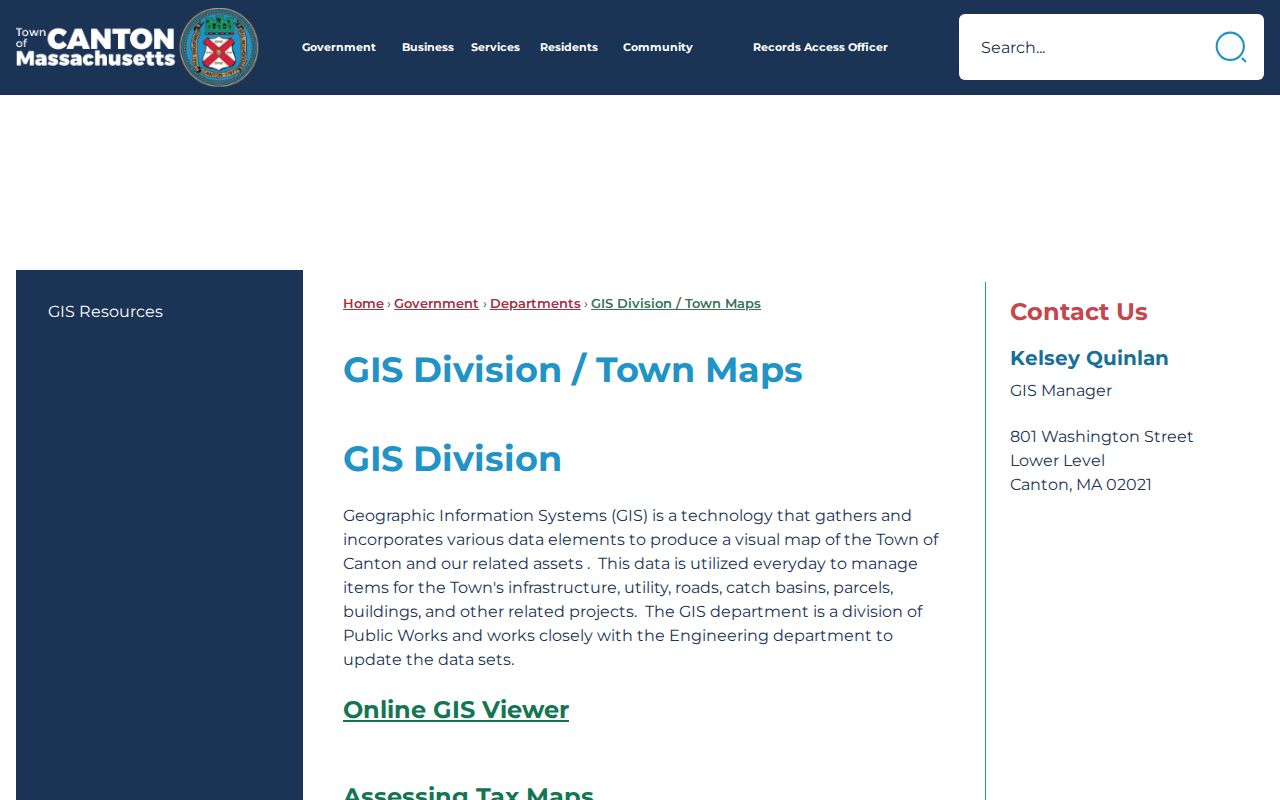
Use the displayed map resources to record a parcel or map-lot reference before opening a deed index. The GIS page also points to tax and zoning maps, which can help reconcile a street edge without converting geographic context into a resident claim.
Canton Street Directory Record Coverage
Address-keyed sources answer different parts of a Canton street question. The table separates a source's key from its person-related fields and limits. This is more reliable than treating every address hit as a current household list.
| Address record | Key used | What it can show | Canton or Norfolk coverage |
|---|---|---|---|
| Street map and list | Name, suffix, grid, acceptance flag | Street geography and civic labels | 2022 map; the GIS page links current 2026 resources. |
| Assessor database | Situs address or parcel/map-lot | Owner, property description, value, sketch or map fields | FY2026 database; live field labels remain a documented gap. |
| GIS and AxisGIS | Parcel, building, road geometry | Parcel context, roads, utilities, buildings, tax or zoning context | Current mapping; identify-result labels require interactive review. |
| Norfolk deed systems | Address when indexed, book/page, plan, legal description | Grantor, grantee, party role, document and plan references | Recorded land online from 1793; Land Court index online from 1973. |
| Municipal voter material | Residence or mailing address | Public fields only, subject to withholding and protection | Request from the Canton Town Clerk; statewide file is restricted. |
| Permit or tax-taking record | Project or parcel address | Project, applicant, status, or a dated parcel-to-deed bridge | ViewPoint workflow and FY25 tax-taking posting; public result fields vary. |
The parcel or map-lot is the durable bridge in a street directory workflow. It can connect an assessor card to a plan, a legal description, or a deed citation when an older document has no modern street address.
Canton Street Deed Chain
Norfolk County's recorded land index and images reach back to 1793 online. Start with the current parcel's owner, deed book/page, document number, or plan reference. Then read the instrument rather than relying on a result-list name. A grantor transfers an interest; a grantee receives one. Either may be a trustee, executor, nominee, lender, or other party, so neither role alone proves residence.
Address indexing is substantially stronger from 2003 forward. For older Canton records, use the legal description, lot, plan, bounds, book/page, and prior instrument. Search Recorded and Registered Land Court routes separately. Norfolk's online Land Court owner and index material begins in 1973, and its certificate and encumbrance references are not ordinary deed-book citations.
The Norfolk deed search begins with public name and town controls.
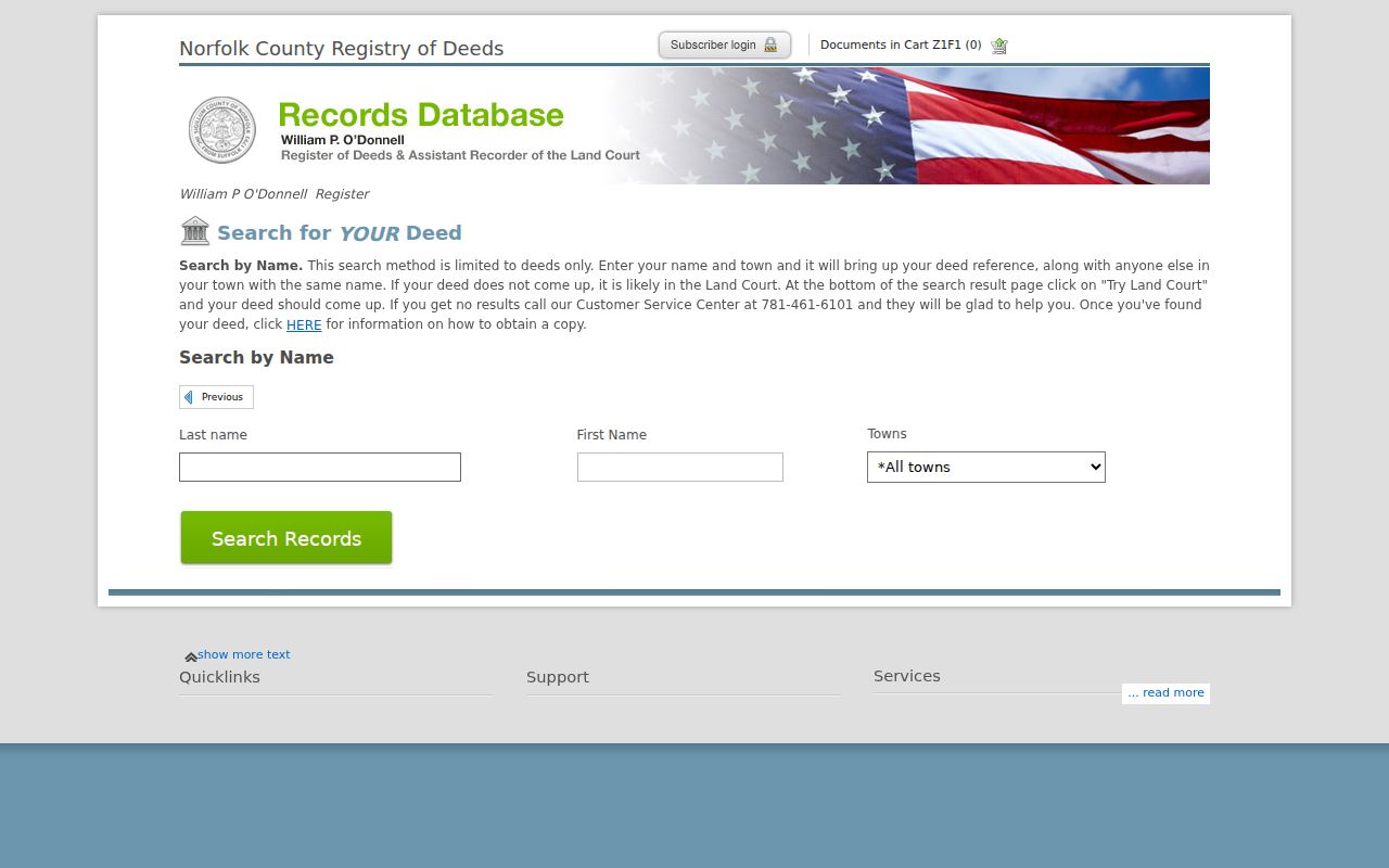
The search landing view is a starting point, not a final street result. Bring forward the map-lot, legal-description, plan, or document details gathered from the Canton record, especially for a pre-2003 address question.
Canton Street Record Terms
Street and parcel records use terms that look alike but serve different jobs. Keeping them separate makes a Canton street directory search easier to audit later.
- Parcel
- A mapped unit of property, often tied to a map-lot or other local identifier.
- Situs address
- The physical location of the parcel. It is distinct from an owner's mailing address.
- Plat or plan
- A recorded map that can show lots, bounds, survey information, street names, and subdivision details.
- Criss-cross directory
- An address-oriented directory arrangement that can help move from a street number to a listed name when a volume includes that section.
Older Canton material may instead use a legal description. That text can identify boundaries, lots, or plan references even when a present-day street number is missing.
Canton Voter and Street List Requests
The state voter-status form is for an individual to check personal registration status. It requests first name, last name, date of birth, ZIP, and agreement to its terms. It is not a public list of everyone on a street. Massachusetts makes many municipal voter fields public through the local election office, while the statewide voter file is restricted.
For a dated Canton street question, contact the Town Clerk at 801 Washington Street or 781-821-5013. Posted hours are Monday, Wednesday, and Thursday 8 to 5, Tuesday 8 to 7, and Friday 8 to 1. Request an existing municipal record with a reasonable date and format. Confidential voters and other withheld fields remain outside an ordinary street directory result.
Note: The annual census and street list are administrative snapshots, so their date and purpose can differ from a voter record.
Canton Street Names Across Time
No official source located for this research gives a Canton-wide street-renumbering or renaming project with a year. Do not assign an old number to a modern parcel on assumption. A safer comparison uses editions of the street map, tax maps, deed legal descriptions, plans, map-lot numbers, and the geometry of adjoining parcels.
Canton became a separate town from Stoughton in 1797. For an early land trail, a record may be filed under Stoughton or an earlier town context rather than Canton. That jurisdiction history is another reason to preserve the source year and wording instead of forcing every historical address into a present-day format.
Canton Streets and ZIP 02021
Use 02021 as a postal clue for likely Canton mailing records, then check the legal municipality through the street map, assessor situs, GIS parcel, and tax or deed source. The official postal material identifies 02021 with Canton. It also identifies 02067 with Sharon, so a nearby ZIP is not a Canton assignment without an address-level USPS result.
The USPS ZIP Code Lookup accepts a street address with city and state, or a city, state, and ZIP search. That address-level check is more useful at a town edge than a town-and-ZIP list. MassGIS ZIP polygons are approximate, are not official USPS maps or ZCTAs, and do not define municipal limits.
Canton Street Records Request
When an online record ends, ask for a defined existing set: assessor parcel cards, legally public street-list or voter records, permit index or status, or tax-taking material for an exact street and number or map-lot. Include a date range, historical address cross-references, mailing-versus-situs fields, and document identifiers where known. Ask for electronic delivery and a fee estimate.
Under the Massachusetts Public Records Law, G.L. c. 66, §10, Canton normally responds within 10 business days or explains a fee, redaction, withholding, or need for more time. Exemptions include G.L. c. 4, §7(26). A request is strongest when it names the custodian's existing record rather than asking the office to build a new list.
Use the town's Records Access Officer route when a written municipal request is needed.
Canton Street Directory Limits
A street directory can point to property ownership, dated directory entries, public municipal records, and map context. It cannot safely turn any one of those into a complete list of people at an address. Mailing and situs addresses can differ. Deed parties may have roles other than owner or resident. Protected voter and Address Confidentiality Program records are intentionally withheld or masked.
Lawful use. Use Canton address records for lawful personal, civic, and historical research. Do not use a street record to stalk, harass, intimidate, or harm anyone, and do not publish protected personal details.
If the goal shifts from a street trail to checking one named record across official sources, use the Canton resident lookup workflow and retain the source date with each result.